
24 March, 2021
Webcasts to help you use maps
for your family history research
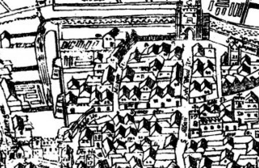
Maps are lovely things! I have been reading The Lodger Shakespeare by Charles Nicholl in which he recreates the neighbourhood of Silver Street within the walls of London, where the Bard lived in about 1600. He walks us around the streets on the famous 'Agas ' woodcut map of London c.1561.
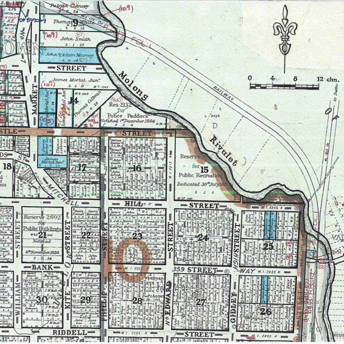
 I did a similar exercise for my great great grandfather's town lots in Molong NSW in 1861, describing buildings of the time on an imagined walk from his house into the town.
Understanding where your ancestors lived, worked and travelled is an important part of family history research.
There is such a wealth of map images and tools available, so we have sought guidance from some of our experts and have assembed a collection of recorded talks that will help you in this task.
Six of these talks are now available as webcasts for streaming through a dedicated link on the Member’s section of our website. Sign on as a Member and go to the Members Area. There you will see a link to 'Maps - a Source for family history'. (If you are not yet a Member, this is another reminder about what you can find at GSV).
The webcasts examine topics such as the journeys that our ancestors took from Europe, the landscapes they encountered when they arrived in Melbourne and the development of Melbourne and Geelong through the lens of the sewerage plans developed by the Government.
· Joy Roy’s talk uses examples from the ScotlandsPeoplewebsite to examine the importance of locating your ancestor in a place and time.
· Librarian Judy Scurfield tells us about the extensive online collection of maps of Victoria, Australia and elsewhere held at the State Library of Victoria.
· Meg Bate introduces Historypinand shows us how to use this online mapping tool to share photos, stories and your family history.
These webcasts are informative and interesting and valuable resources to assist your family history research. Enjoy them and the many others in our extensive collection.
***

References to illustrations
Civitas Londinium.the 'Agas' map of London, c.1561, Maps of Old London, Adam and Charles Black, Lond., 1908 / scanned and corrected Mike Calder 2009, accessed 25/9/2020. Detail showing Shakespeare's neighbourhood (Wikimedia Commons CC-PD-Mark).
Map of East and West Molong and Suburban Lands, 4th ed. (courtesy of the Registrar General, NSW Dept of Customer Service /Annotated W. Barlow 2019) in 'Guilty and Lucky', William Barlow, 2020, fig. 5.4
